Crystal City is a 394-acre county planning area in ZIP 22202, zoned for Wakefield High. Zillow's typical 22202 value was $733,336 in September 2026.
Last checked Oct. 19, 2026. The boundary is Arlington County’s Crystal City planning area, from the county’s Planning Areas map layer, and the Crystal City Sector Plan (2010, PDF). School zones come from the boundaries behind Arlington Public Schools’ boundary locator; ratings from the Virginia Department of Education’s 2026-27 framework summary for Arlington (PDF); home values from the Zillow Home Value Index (Zillow Research); parks from the county’s parks map layer; bus routes from Arlington Transit’s published schedule data; place names, stores, trails and road distances from OpenStreetMap (© OpenStreetMap contributors).
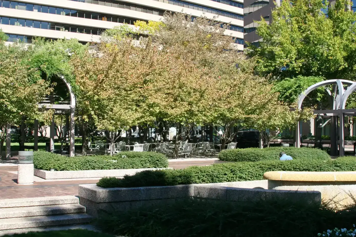
Crystal City is a 394-acre planning area of high-rise offices, hotels and apartments along Richmond Highway (U.S. 1), between the Pentagon and Reagan National Airport. The County Board adopted the Crystal City Sector Plan on Sept. 28, 2010, to guide its redevelopment, and the plan has its own section on the Crystal City Underground. OpenStreetMap marks National Landing inside it, the name the county also uses for the business district whose commercial owners pay an extra tax (see our property tax guide).
What this means for you
- Zoned high school: Wakefield High School (the whole planning area)
- Typical home value, ZIP 22202: $733,336 in September 2026, according to Zillow
- Nearest interstate exit: I-395 Exit 8C (U.S. 1, Pentagon City, Crystal City), about 0.9 mile by road
- Zone questions: Arlington Public Schools, 703-228-8000
Where it is
The planning area runs north to south from the I-395 interchanges by the Pentagon to the Potomac Yard area at the Alexandria line. South Eads Street forms much of its western edge, toward Pentagon City, and the George Washington Memorial Parkway runs along part of its eastern side. Richmond Highway, Crystal Drive, South Clark Street, Long Bridge Drive, Army Navy Drive, South Glebe Road and the numbered streets from 12th to 23rd Street South run through it. The whole area is in ZIP 22202.
On the county’s civic association map, the Crystal City civic association covers more than half of the planning area.
Schools
| School | Share of area | Grades | Address | 2026-27 rating |
|---|---|---|---|---|
| Oakridge Elementary | about 54% | PK-5 | 1414 24th St. S. | Meets Expectations, 91.2 |
| Hoffman-Boston Elementary | about 46% | PK-5 | 1415 S. Queen St. | Approaching Expectations, 83.6 |
| Gunston Middle | all | 6-8 | 2700 S. Lang St. | Distinguished, 89.8 |
| Wakefield High | all | 9-12 | 1325 S. Dinwiddie St. | Approaching Expectations, 88.9 |
All four are Fully Accredited. The ratings are Virginia’s School Performance and Support Framework category and score for 2026-27, based on 2025-26 results; Oakridge, Hoffman-Boston and Wakefield were identified for targeted support for students with disabilities. Check one address in the APS boundary locator, and see our schools guide.
Home values
| ZIP code | Share of area | September 2026 | September 2025 | Change |
|---|---|---|---|---|
| 22202 | all | $733,336 | $735,105 | down 0.2% |
The figure is Zillow’s Home Value Index, a modeled typical value for mid-priced homes, not a sale price. ZIP 22202 also covers all of Pentagon City. Zillow’s figure for Arlington as a whole was $801,809 in September 2026, up 1.3%. See our home prices guide.
Parks and trails
From the county’s parks map:
- Long Bridge Park, 475 Long Bridge Drive, about 36 acres, the largest park in the area
- Short Bridge Park, 3920 Potomac Ave.
- Arlington Junction, 1051 S. Eads St.
- 23rd Street Plaza, 501 23rd St. S.
- Privately owned public spaces including Crystal City Water Park, 1601 Crystal Drive, and Center Park
The sector plan names the Mount Vernon Trail, along the river side, and the Four Mile Run Trail, at the south end, and OpenStreetMap also maps the Potomac Yard Trail here. More in our parks and trails guide.
Getting around
Distances are measured on the road network from the middle of the planning area (OSRM routing on OpenStreetMap data); they are distances, not drive times.
| To | Distance |
|---|---|
| County government center, 2100 Clarendon Blvd. | about 4.2 miles |
| I-395 Exit 8C (U.S. 1, Pentagon City, Crystal City) | about 0.9 mile |
| I-395 Exit 10 (Boundary Channel Drive, George Washington Parkway) | about 1.3 miles |
| Reagan National Airport | about 1.4 miles |
Crystal City Metrorail station, 1750 S. Bell St., is inside the area. Ronald Reagan Washington National Airport station is about a quarter mile south of its edge, and Pentagon City and Pentagon stations about 0.3 mile west and northwest. In Arlington Transit’s schedule data, ART 43 (Court House, Rosslyn and Crystal City) is the ART route that stops in the area. See our getting around guide.
Groceries and everyday stores
- Whole Foods Market and CVS Pharmacy, 1550 Crystal Drive
- Harris Teeter, 3600 S. Glebe Road
- Lidl Express, 3500 S. Clark St.
- CVS Pharmacy, 2400 Richmond Highway
- Whole Foods Market, 520 12th St. S., at the edge with Pentagon City
How to check an address
Look up the parcel on the county’s property search, then check its elementary school in the APS boundary locator, since Crystal City is split between two elementary zones. Our property tax guide has the county rate, and the Arlington neighborhoods guide covers every planning area.
Frequently asked questions
What high school is Crystal City zoned for?
All of the Crystal City planning area is zoned for Wakefield High School and Gunston Middle School. Wakefield is rated Approaching Expectations, with a framework score of 88.9, in Virginia’s 2026-27 ratings.
What ZIP code is Crystal City, Arlington?
- The whole planning area is in that ZIP code, which also covers Pentagon City.
What is the typical home value in Crystal City?
Zillow’s Home Value Index for ZIP 22202 was $733,336 in September 2026, down 0.2% from a year earlier. The countywide figure was $801,809. These are modeled values, not sale prices.
How far is Crystal City from Reagan National Airport?
About 1.4 miles by road from the middle of the planning area. The Ronald Reagan Washington National Airport Metrorail station is about a quarter mile from its southern edge.
Have your say